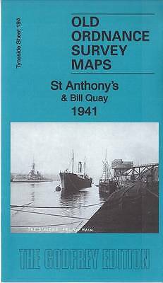
MAP OF St Anthony's & Bill Quay 1941: Tyneside Sheet 19A Lang, Anthea NEW
Here are the details of maps for St Anthonys & Bill Quay:\n\nTyneside Sheet 19a St Anthonys & Bill Quay 1912 - published 1985; intro by Alan Godfrey. ISBN.978-0-85054-005-5 Tyneside Sheet 19a St Anthonys & Bill Quay 1941 - published 2016; intro by Anthea Lang. ISBN.978-1-84784-975-5 We have published two versions of this map, showing how the area changed across the years.\nThese detailed maps cover the St Anthony's area and part of Walker north of the Tyne, and parts of Felling and Hebburn to the south. Features N of the river include St Anthony's church, Walker Park, Riverside Branch railway and various shipyards and works by the river. S of the Tyne we have Bill Quay, Pelaw MainTyne Copper Works, Deans Primrose Staith, Maloney's Quay, Pelaw Main Staith, LNER South Shields Branch and various works.\nThe map links up with Tyneside Sheet 13 Walker & Hebburn to the north, Tyneside Sheet 19 Gateshead East to the south, 20 Monkton to the south and Durham Sheet 7.
Compare prices (1 shop)
| shop | Price | Action |
|---|---|---|
|
|
3,45 GBP | Go to shop |
Similar products
-

-

-
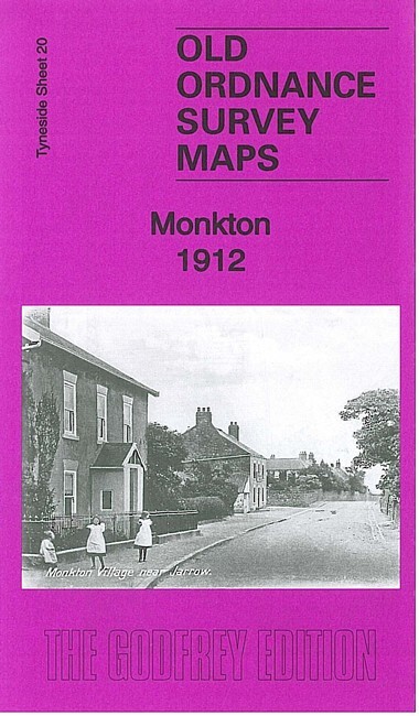
Monkton 1912 Tyneside Sheet 20 by Anthea Lang
From 3,75 EUR -

Longbenton 1913 Tyneside Sheet 31 by Anthea Lang
From 3,75 EUR -

Tynemouth 1913 Tyneside Sheet 1 by Anthea Lang
From 3,75 EUR -

Forest Hall 1913 Tyneside Sheet 32 by Anthea Lang
From 3,75 EUR