
Forest Hall 1913 Tyneside Sheet 32 by Anthea Lang
This detailed map covers Forest Hall and parts of West Moor, Killingworth Moor and Benton.\nFeatures include St Bartholomew's church, Balliol College Farm, Christ Church, Forest Hall, Clousden Hill House, North Eastern Railway with Forest Hall station, section of Killingworth Wagonway, West Moor Pit, Benton North Farm, Scott's House Farm etc. (disused),\nThe area was in Longbenton UDC, which was an independent urban district until 1974, when it was absorbed into the new North Tyneside Metropolitan Borough.
Compare prices (1 shop)
| shop | Price | Action |
|---|---|---|
|
|
3,75 GBP | Go to shop |
Similar products
-

Longbenton 1913 Tyneside Sheet 31 by Anthea Lang
From 3,75 EUR -

Tynemouth 1913 Tyneside Sheet 1 by Anthea Lang
From 3,75 EUR -

-

-

-
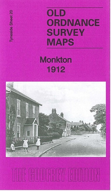
Monkton 1912 Tyneside Sheet 20 by Anthea Lang
From 3,75 EUR