
Mouth of the Tyne 1913: Tyneside Sheet 3b by Anthea Lang (Sheet map, 2016) NEW
Here are the details of maps for Mouth of the Tyne:\nTyneside Sheet 3a Mouth of the Tyne 1895 - published 1984; intro by Eric Hollerton. ISBN.978-0-85054-340-7 Tyneside Sheet 3b Mouth of the Tyne 1913 - published 2016; intro by Anthea Lang. ISBN.978-1-78721-024-0 We have published two versions of this map, showing how the area changed across the years. It covers important areas of North Shields, South Shields, and Tynemlouth.Coverage starts at Collingwood's Monument in the north and continues to Marine Park in the south. Westward, the coverage extends to Camden Street and Upper Norfolk Street.Features on the maps include (on the S side of the river), St Stephen's church, Roman Park, North Marine Park, Commissioners Staiths, Groyne Lighthouse, much of South Pier, Olympia Skating Rink, St Aidan's church, coastguard station, tramway terminus,railways onto pier etc. And (on the N side of the river), Collingwood's Monument, High and Low Lighthouses, ferry landing stage, Marlet P.
Compare prices (1 shop)
| shop | Price | Action |
|---|---|---|
|
|
3,45 GBP | Go to shop |
Similar products
-

Longbenton 1913 Tyneside Sheet 31 by Anthea Lang
From 3,75 EUR -

Tynemouth 1913 Tyneside Sheet 1 by Anthea Lang
From 3,75 EUR -

Forest Hall 1913 Tyneside Sheet 32 by Anthea Lang
From 3,75 EUR -

-

-
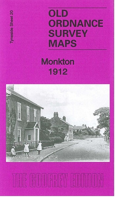
Monkton 1912 Tyneside Sheet 20 by Anthea Lang
From 3,75 EUR