
Tynemouth 1913 Tyneside Sheet 1 by Anthea Lang
This detailed map covers the northern section of Tynemouth with coverage stretching from Donkin Terrace & Oxford Street northward to Long Sands & Bears Head Rock. Features include Prior's Park, Northumberland Park, Church of the Holy Saviour, Tynemouth Castle, North Pier, Sharpness Point and the Railway Line & Station. Main Streets on the map include part of Tynemouth Road, Percy Park Road, Grand Parade and Front Street.
Compare prices (1 shop)
| shop | Price | Action |
|---|---|---|
|
|
3,75 GBP | Go to shop |
Similar products
-

Longbenton 1913 Tyneside Sheet 31 by Anthea Lang
From 3,75 EUR -

Forest Hall 1913 Tyneside Sheet 32 by Anthea Lang
From 3,75 EUR -

-

-

-
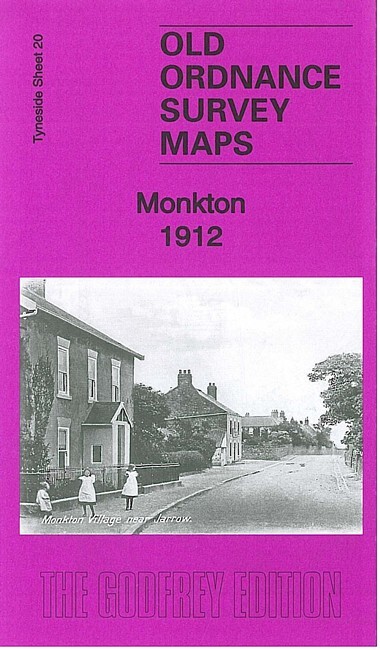
Monkton 1912 Tyneside Sheet 20 by Anthea Lang
From 3,75 EUR