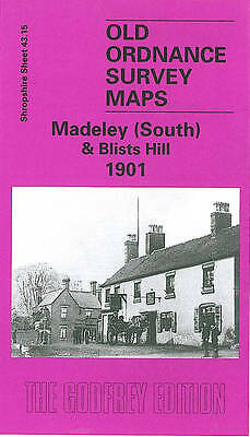
MAP OF Madeley (South) & Blists Hill 1925 Shropshire Sheet 43.15b NEW
Here are the details of maps for Madeley South:\n\nShropshire Sheet 43.15a Madeley South & Blists Hill 1901 - published 2001; intro by Barrie Trinder. ISBN.978-1-84151-320-1 Shropshire Sheet 43.15b Madeley South & Blists Hill 1925 - published 2025; intro by Barrie Trinder. ISBN.978-1-78721-761-4 \nWe have published two versions of this map, showing how the area changed across the years. The maps cover the south of Madeley from the High Street.Features include St Michael's Church, Madeley Market Station and Railway Line, Madeley Hall, Meadowpit Colliery, Blists Hill Iron Works, Suttonhill House, St Mary's Church and Jackfield Encaustic Tile Works. Each map includes extracts from early directories.\nThis map links up with Shropshire Sheet 43.11 Madeley Court to the North, 43.14 Ironbridge to the West and 51.05 Coalport to the south.
Compare prices (1 shop)
| shop | Price | Action |
|---|---|---|
|
|
3,45 GBP | Go to shop |