Plymouth (North) 1912 Devon sheet 123.08b by Tony Painter NEW 9781787218628
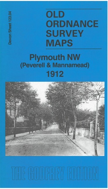
Here are the details of maps for Plymouth (North):\n\nDevon Sheet 123.08a Plymouth (North) 1893 - published 2000; intro by Richard Oliver. ISBN.978-1-84151-208-2 Devon Sheet 123.08b Plymouth (North) 1912 - published 2025; intro by Tony Painter. ISBN.978-1-78721-862-8 We have published two versions of this map, showing how the area changed over the years.\nThe maps cover the northern part of Plymouth, with coverage stretching from Wyndham Square eastward to Lipson Farm and Lipson House, and from Grenville Road northward to Lockyer Road.\nFeatures include LSWR railway with Friary station, engine shed, Plymouth Workhouse, Freedom Fields, Lipson, GWR railway with Mutley station, North Road station, cemetery, Beaumont Park, RC Cathedral, Houndiscombe, St Jude's church, Ford Park area, Market Place, tramways etc. On the reverse we include extracts from contemporary street directories, together with introductions to the history of the area.\nThe map links up with sheet 123.04 Plym.
Compare prices (2 shops)
| shop | Price | Action |
|---|---|---|
|
|
3,45 GBP | Go to shop |
|
|
3,75 GBP | Go to shop |