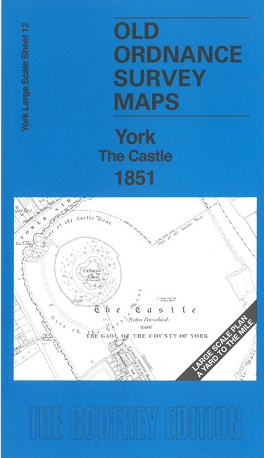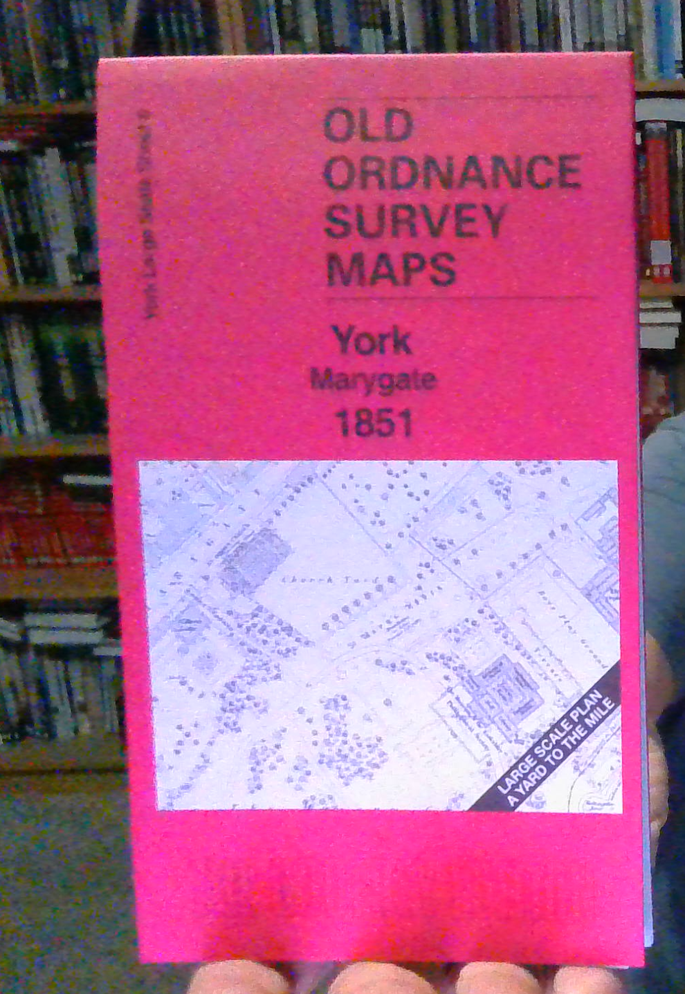
MAP OF York Marygate 1851 York Large Scale Sheet 8 by Alan Godfrey
Here are the details of the large scale plan for York Marygate:\n\nYork 08 York: Marygate 1851 - published 2025; intro by Alan Godfrey. ISBN.978-1-78721-876-5 This wonderfully detailed map covers the western part of the city centre.\nFeatures include Museum Gardens, Marygate, Bootham, Museum, St Olave's church, Ragged School, railway across River Ouse, etc\nOn the reverse we include a 1:500 plan covering the Scarborough Bridge and the northern approaches to York station in 1889, together with a 2,000 word introduction to the history of the area.\nThe map links up with sheet 9 York Minster to the east, 11 York Micklegate to the south.
Compare prices (2 shops)
| shop | Price | Action |
|---|---|---|
|
|
3,45 GBP | Go to shop |
|
|
3,75 GBP | Go to shop |