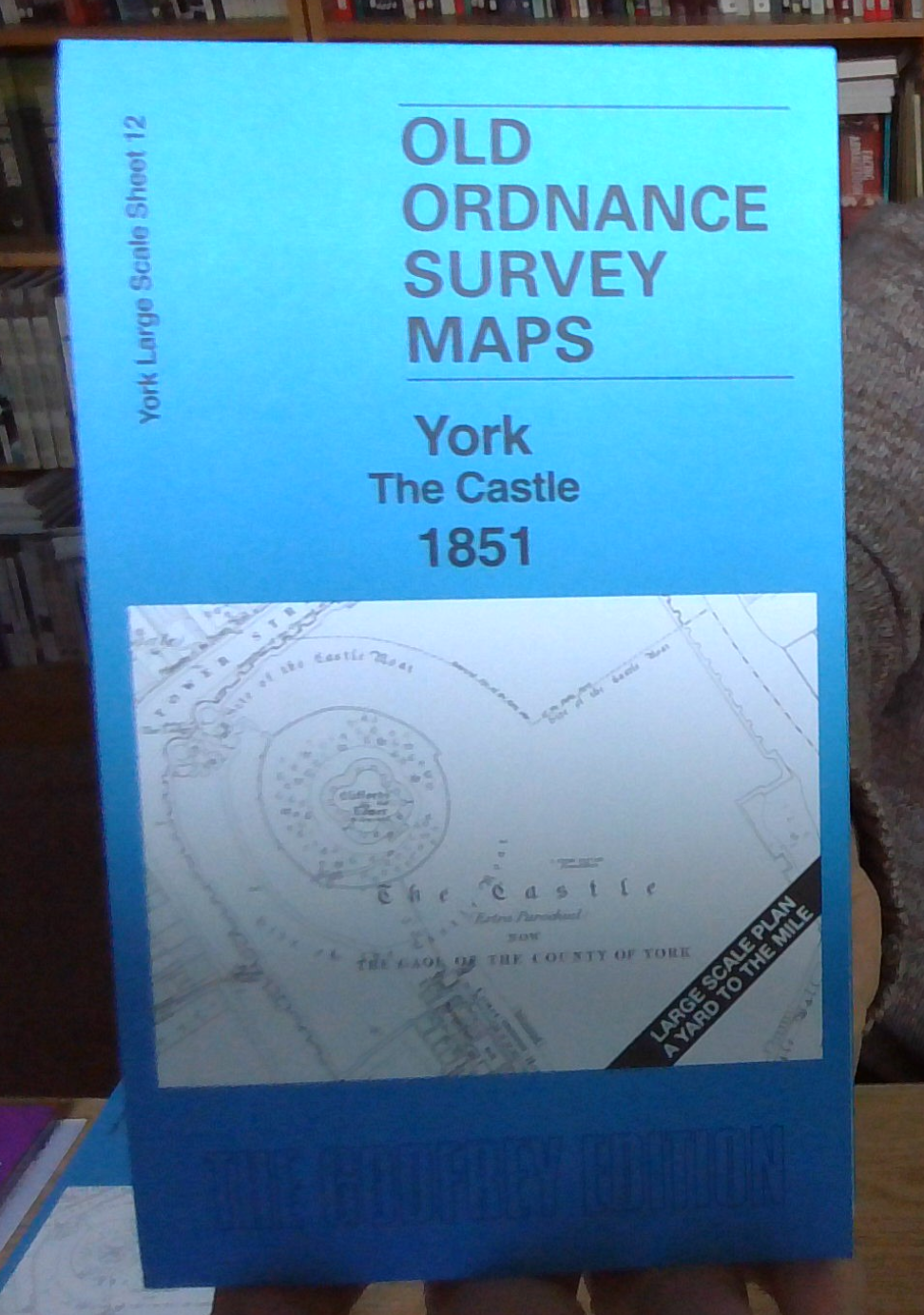
MAP OF York The Castle 1851 Yorkshire Large Scale Sheet 12 by Alan Godfrey NEW
Here are the details of the large scale plan for the York castle area:\n\nYork 12 York: The Castle 1851 - published 2026; intro by Alan Godfrey. ISBN.978-1-78721-942-7 This wonderfully detailed map covers the area around the Castle and The Pavement. It also stretches across the river to Skeldergate and Walmgate.\nFeatures include the Castle, Court House, St Saviour's church, St Crux's church, Merchants Hall, St Dennis church, RC Church, St Margaret's church, St John's church North Street, St Michael's church, Spurriergate, Friends Meeting House, All Saints' church, Guild Hall, etc. The prison is left blank for security but there is a wonderful amount of detail on the map.\nOn the reverse we include a 1:500 plan covering the Castle and George St area in 1889, together with a 2,000 word introduction to the history of the area.\nThe map links up with sheet 9 York Minster to the north and 11 York Micklegate to the west.
Compare prices (2 shops)
| shop | Price | Action |
|---|---|---|
|
|
3,49 GBP | Go to shop |
|
|
3,75 GBP | Go to shop |
Similar products
-

-

York (NW) 1907 Yorkshire Sheet 174.02 by Alan Godfrey
From 3,75 EUR -
-

-

-
