

Alnwick 1851 Town of Alnwick Sheet 3 by Anthea Lang
This unusual map is taken from the OS 'two-foot' scale map, published before the 1:2500 or 25\"" scale had been adopted. It was published for the new local authority, formed following a major cholera epidemic in the town. It shows remarkable detailing, including field names, and is quite different from the later OS maps.\nOur map is double-sided to give maximum coverage and includes part of sheet 2 to the west. It covers the town centre where features include the castle, railway station, Market Place, St Mary's church, St Paul's church, Bondgate, Bailliff Gate. The area N of the river, outside the town, is left blank.
Compare prices (2 shops)
| shop | Price | Action |
|---|---|---|

|
3,45 GBP | Go to shop |
|
|
3,75 GBP | Go to shop |
Similar products
-
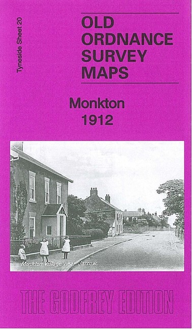
Monkton 1912 Tyneside Sheet 20 by Anthea Lang
From 3,75 EUR -

-
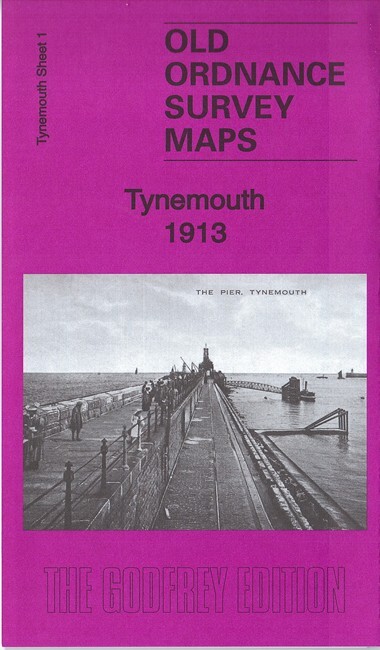
Tynemouth 1913 Tyneside Sheet 1 by Anthea Lang
From 3,75 EUR -

Longbenton 1913 Tyneside Sheet 31 by Anthea Lang
From 3,75 EUR -

-
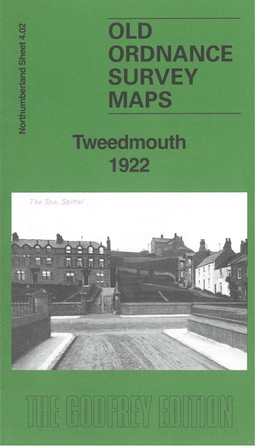
Tweedmouth 1922 Northumberland Sheet 4.02 by Anthea Lang
From 3,75 EUR