

MAP OF SURREY DOCKS (SOUTH) 1868-94 LONDON LARGE SCALE SHEET 7.99 NEW
Here are the details of the map for Surrey Docks:\n\nLondon Large Scale Sheet 07.99 Surrey Docks (South) 1868-94 - published 2026. Intro by Alan Godfrey. ISBN.978-1-78721-963-2This very detailed map covers the southern half of Surrey Docks.\nFeatures include Albion Pond, Canada Pond, Quebec Pond, Commercial Yard, Dock Office, Grand Surrey Canal, Norway Dock, Ploughbridge Works, western half of Greenland Dock etc.\nOn the reverse we include the 1894 map, showing the same area at a later stage. We also include an introduction to the history of the area.\nThe map links up with sheet 07.98 Southwark Park to the west, 11.09 Rotherhithe South to the south.
Compare prices (2 shops)
| shop | Price | Action |
|---|---|---|

|
3,74 GBP | Go to shop |
|
|
3,75 GBP | Go to shop |
Similar products
-

-
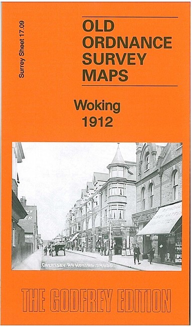
Woking 1912 Surrey Sheet 17.09 by Alan Godfrey
From 3,75 EUR -

Godalming 1895 Surrey Sheet 31.15 by Alan Godfrey
From 3,75 EUR -

Farnham 1913 Surrey Sheet 30.06 by Alan Godfrey
From 3,75 EUR -

Anerley & Penge 1868 Kent Sheet 7.14 by Alan Godfrey
From 3,75 EUR -
