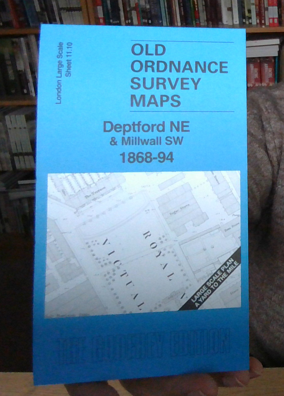
MAP OF ROTHERHITHE (SOUTH) 1868-94 LONDON LARGE SCALE SHEET 11.09 NEW
This very detailed map covers the southern part of Rotherhithe and NW part of Deptford. Features include St Helena Gardens, East London Railway with Deptford Road station, Deptford Lower Road, Windmill Bridge, Grand Surrey Canal, Tar Works, Asphalt Works, Animal Charcoal Works, LBSCR Thames Junction Branch, Hemp & Jute sheds etc.\nOn the reverse we include the 1894 map, showing the same area at a later stage. We also include an introduction to the history of the area
Compare prices (2 shops)
| shop | Price | Action |
|---|---|---|

|
3,49 GBP | Go to shop |
|
|
3,75 GBP | Go to shop |