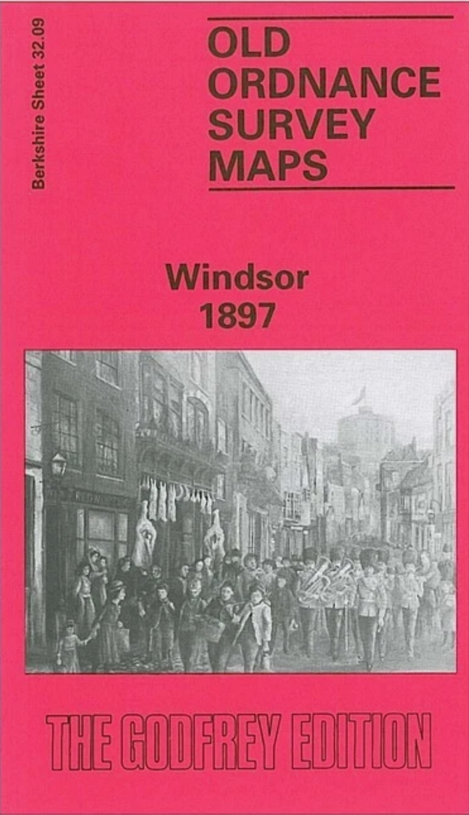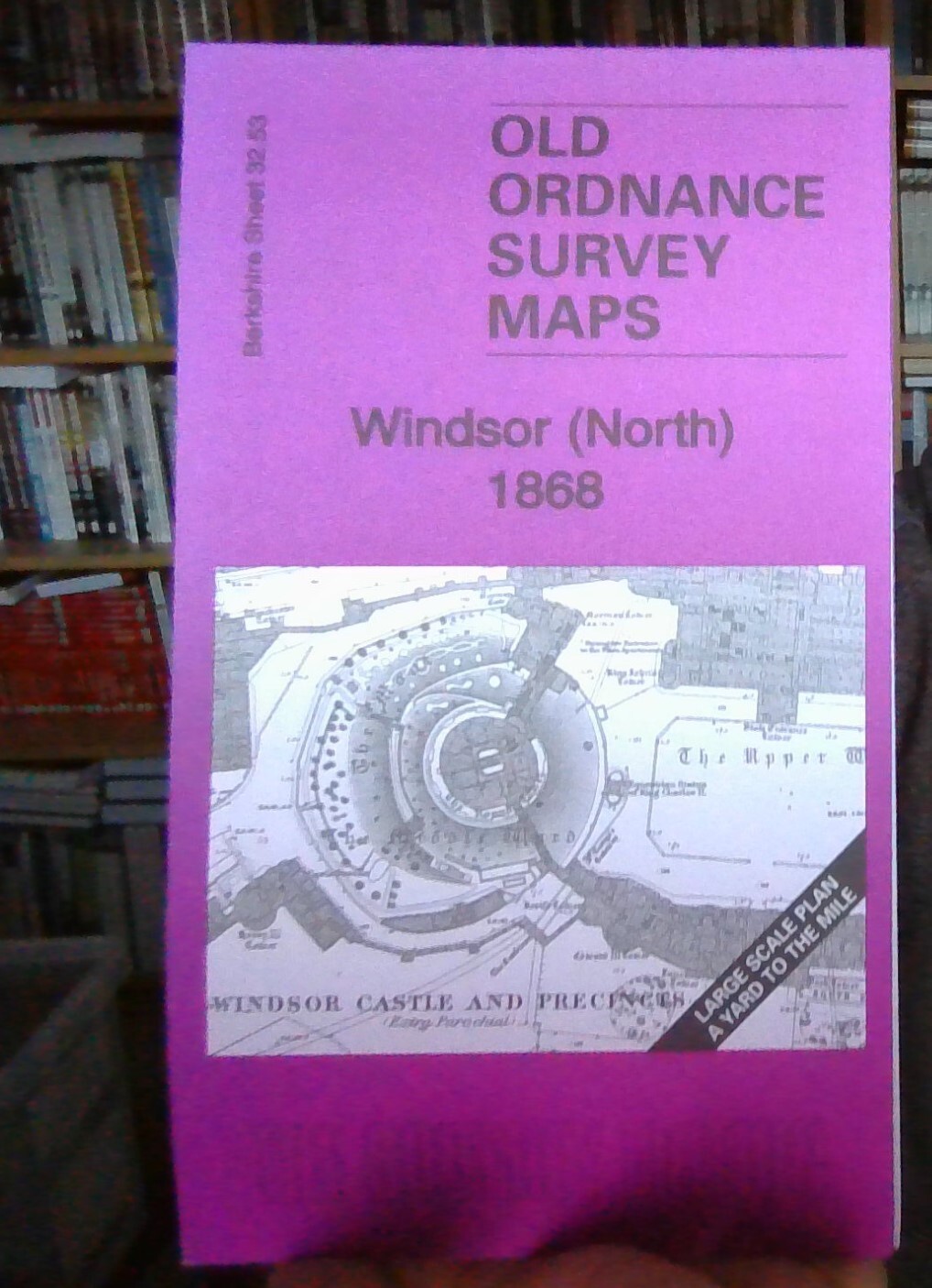
MAP OF Windsor (North) 1868 Berkshire Large Scale Sheet 32.53 NEW 9781847845313
Here are the details of maps for Windsor Town Centre:\n\nBerkshire 32.53 Windsor (North) 1968 - published 2011; intro by Pamela Taylor. ISBN.978-1-84784-531-3 Berkshire 32.63 Windsor (South) 1968 - published 2011; intro by Pamela Taylor. ISBN.978-1-84784-532-0 These maps are extremely detailed. Though the infill for buildings is a little bit dark, close inspection reveals the interior layout of many buildings, including Windsor Castle, while the mixed gauge track into the GWR station is shown.\nThe Windsor (North) map includes Windsor Castle & Precincts, GWR terminus, LSWR terminus, Windsor Bridge, Brewery, riverside, part of Eton High Street (but not the college).\nThe Windsor (South) map includes Peascod Street, Holy Trinity church, Infantry Barracks, Nachelors Acre, Royal Mews etc. This map includes a list private residents from an 1891 directory.
Compare prices (2 shops)
| shop | Price | Action |
|---|---|---|

|
3,45 GBP | Go to shop |
|
|
3,45 GBP | Go to shop |