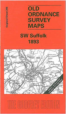
MAP OF South West Suffolk 1893: One Inch Map 206 by Robert Malster NEW
Here is information about Sheet 206:\n\nOne Inch Sheet 206 SW Suffolk 1893 - published 2000; intro by Robert Malster. ISBN.978-1-84151-206-8This One Inch to the Mile map covers the SW part of Suffolk centred on Long Melford and Glemsford, with a smaller part of Essex to the SW. Coverage stretches from Kedington eastward to Chelsworth, and from Rede southward to Gestingthorpe. Railways from Sudbury to Haverhill and Bury meander through the map. On the reverse we include a map of Wixoe, with a directory.\nIt is not possible to list the many hamlets, farmsteads and other topographical features shown on these maps. However, you may find it useful if we list the towns and principal villages or church parishes that are included on this map. Links are given for those for which detailed large-scale maps are also available.\nEssex: Ashen, Belchamp Otton, Belchamp St Pauls, Belchamp Walter, Birdbrook, Borley, Bulmer, Foxearth, Gestingthorpe, Great Henny, Great Yeldham, Middleton, Ovington, Pen.
Compare prices (1 shop)
| shop | Price | Action |
|---|---|---|

|
4,50 GBP | Go to shop |