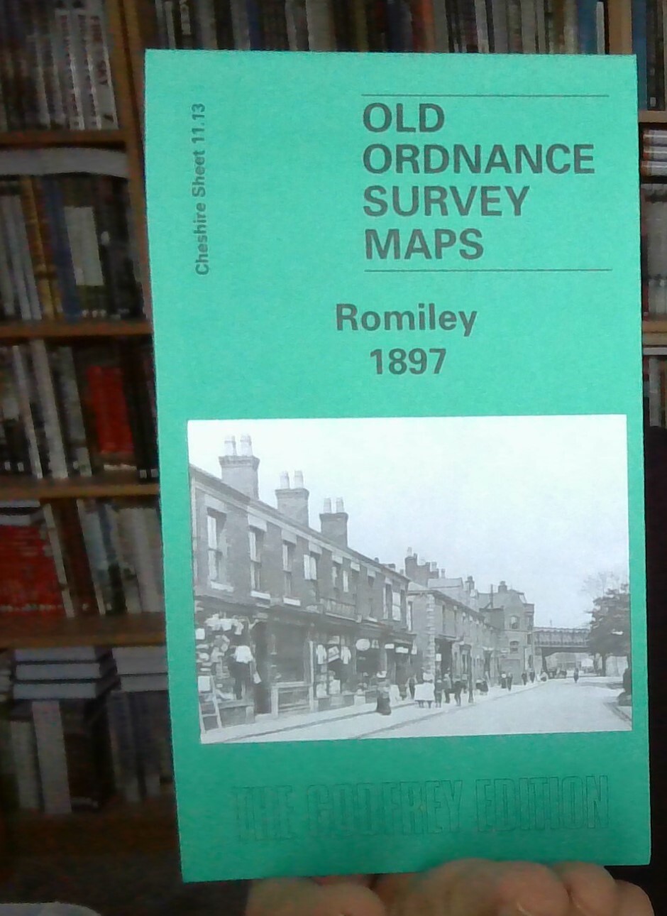
MAP OF Romiley 1897: Cheshire Sheet 11.13 by Chris Makepeace NEW 9781841514697
Explore the historic streets of Romiley with this detailed travel map by Chris Makepeace. Published by Alan Godfrey Maps in 2002, the 'Map of Romiley 1897: Cheshire Sheet 11.13' offers a fascinating glimpse into the past, depicting the transportation landscape of the time. The sheet map format, measuring 220 mm in height, provides a large and clear view of the area, making it easy to navigate and appreciate the historical context.\n\nThis map is a valuable tool for historians, genealogists, or anyone interested in the transport systems of the late 19th century. With its English language labels and thorough detailing, it serves as a comprehensive guide to the local area, making it an essential addition to any collection of maps and atlases.\nHere are the details of maps for Romiley:\n\nCheshire Sheet 11.13 Romiley 1897 - published 2002; intro by Chris Makepeace. ISBN.978-1-84151-469-7 This detailed map covers most of the village of Romiley, just east of Stockport. Coverage stretc.
Compare prices (2 shops)
| shop | Price | Action |
|---|---|---|
|
|
3,45 GBP | Go to shop |
|
|
3,75 GBP | Go to shop |
Similar products
-

Gatley 1897 Cheshire Sheet 19.01 by Chris Makepeace
From 3,75 EUR -

Timperley 1897 Cheshire Sheet 18.03 by Chris Makepeace
From 3,75 EUR -

Sale 1897 Cheshire Sheet 9.11 by Chris Makepeace
From 3,75 EUR -

Woodley 1897 Cheshire Sheet 11.09 by Chris Makepeace
From 3,75 EUR -

-
