
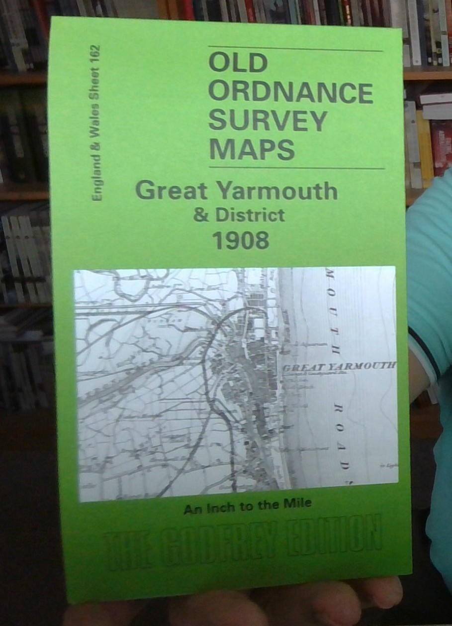
MAP OF Great Yarmouth & District 1908 One Inch Sheet 162 by Robert Malster NEW
This One Inch to the Mile map covers the eastern area of Norfolk around Acle, Loddon and Great Yarmouth, and includes Suffolk around Gorleston. Coverage stretches from Kirby Bedon eastward to the coast, and from South Walsham southward to Flixton. Halvergate and its marshes are near the centre of the map. On the back is a large extract from Norfolk Sheet 77.15 and this shows the village of Reedham in detail; this includes the church, village centre, railway junctions (but not station) including a stretch of abandoned line, and a short directory is also included.\nIt is not possible to list the many hamlets, farmsteads and other topographical features shown on these maps. However, you might find it useful if we here list the majority of the principal villages and church parishes that are included on this map. \nNorfolk: Acle, Alpington, Ashby, Beighton, Bergh Apton, Billockby, Blofield, Bramerton, Brooke, Brundall, Burgh St Margaret, Caistor Yarmouth, Carleton St Peter, Castley, .
Compare prices (2 shops)
| shop | Price | Action |
|---|---|---|

|
3,70 GBP | Go to shop |
|
|
3,75 GBP | Go to shop |


