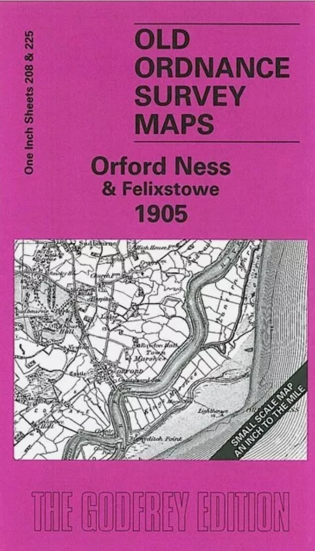
MAP OF Orford Ness & Felixstowe 1905 One Inch Sheet 208/225 by Robert Malster
These two Inch to the Mile maps cover an interesting area of the Suffolk coast around Hollesley Bay. We include the two maps side by side, and coverage stretches from Wickham Market southward to Felixstowe, Landguard Point (and beyond them to Sunk Lightship); and from Woodbridge eastward to Orford Ness. This is an attractive map, with nice contrasts beyond the heathland in the centre, the River Alde and the River Deben. On the reverse we include a map of Orford itself, with its church, Market Hill and castle; a directory of the village is also included.\nIt is not possible to list the many hamlets, farmsteads and other topographical features shown on these maps. However, you may find it useful if we list the towns and principal villages or church parishes that are included on this map. \nSuffolk: Alderton, Bawdsey, Boyton, Butley, Campsey Ash, Capel St Andrew, Chillesford, Eyke, Falkenham, Felixstowe, Hemley, Hollesley, Iken, Kirton, Melton, Newbourn, Orford, Pettistree, Ramshol.
Compare prices (2 shops)
| shop | Price | Action |
|---|---|---|

|
3,45 GBP | Go to shop |
|
|
3,75 GBP | Go to shop |