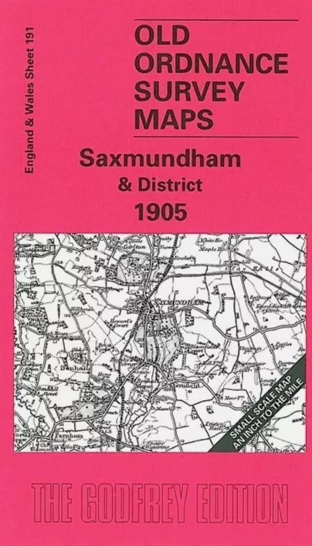
MAP OF Saxmundham & District 1905 One Inch sheet 191 by Robert Malster NEW
Here is information about Sheet 191:\n\nOne Inch Sheet 191 Saxmundham & District 1905 - published 2001; intro by Robert Malster. ISBN.978-1-84151-256-3This One Inch to the Mile map covers the area of East Suffolk centred on Saxmundham. Coverage stretches from Framlingham eastward to the coast, and from Walpole and Walberswick southward Aldeburgh. The East Suffolk railway runs through the map, with branches off it to Aldeburgh and Framlingham; parts of the Southwold Railway appear at the top.The area is notable for its eroded coastline and on the reverse we include Suffolk Sheet 40.13. This coastal map shows the village of Dunwich in 1903; a directory is also given, giving a population of 250 in 1891 (and only 157 by 1901). Dunwich had once been almost as important as Ipswich, but the sea had swept most of it away.\nIt is not possible to list the many hamlets, farmsteads and other topographical features shown on these maps. However, you might find it useful if we here list the maj.
Compare prices (2 shops)
| shop | Price | Action |
|---|---|---|

|
3,45 GBP | Go to shop |
|
|
3,75 GBP | Go to shop |