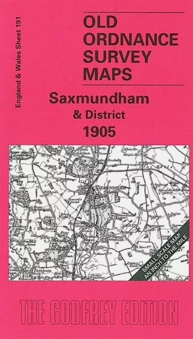
Kings Lynn & District 1907 One Inch Sheet 145 by Robert Malster
This One Inch to the Mile map covers the area around King's Lynn, including the southern part of The Wash. Coverage stretches from Long Sutton eastward to Sandringham, and from Snettisham station southward to North Runcton. Features include the River Nene, River Ouse, channels through The Wash, Sandringham House, several long closed railways incl Great Northern Joint Railway and Lynn & Hunstanton, Sutton Bridge. We include a map of Castle Rising on the reverse.\nIt is not possible to list the many hamlets, farmsteads and other topographical features shown on these maps. However, you might find it useful if we here list the majority of the principal villages and church parishes that are included on this map.\nCambridgeshire: Tydd St Giles.Lincolnshire: Long Sutton, Lutton, Sutton Bridge, Sutton t Mary, Tydd St Mary.Norfolk: Castle Rising, Clenchwarton, Dersingham, East Winch, Gaywood, Ingoldisthorpe, King's Lynn, Middleton, North Runcton, Sandringham, South Wootton, Terrington, Ten
Compare prices (2 shops)
| shop | Price | Action |
|---|---|---|

|
3,70 GBP | Go to shop |
|
|
3,75 GBP | Go to shop |