

MAP OF Diss & District 1907 One Inch sheet 175 by Robert Malster NEW
Here is information about Sheet 175:\n\nOne Inch Sheet 175 Diss & District 1907 - published 2002; intro by Robert Malster. ISBN.978-1-84151-396-6This One Inch to the Mile map straddles the border between Norfolk and Suffolk, with coverage stretching from East Harling eastward to Mendham, and from Hempnall southward to Hoxne and Oakley Park. The River Waveney forms the boundary between the two counties, and its valley was once known for its linen manufacture. As usual in East Anglia, large numbers of small villages are shown, many showing a Hall and even moat. There are just three towns shown, Diss, East Harling and Harleston; a large scale map of Harleston is included on the reverse, giving a detailed picture of this market town, with its station, windmill,and principal streets - Broad St, The Thoroughfare and London Road. A directory of Harleston completes the picture.\nIt is not possible to list the many hamlets, farmsteads and other topographical features shown on these maps. .
Compare prices (2 shops)
| shop | Price | Action |
|---|---|---|

|
3,45 GBP | Go to shop |
|
|
3,75 GBP | Go to shop |
Similar products
-

-

-

-

-
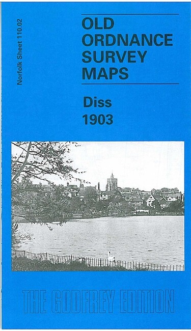
Diss 1903 Norfolk Sheet 110.02 by Robert Malster
From 3,75 EUR -
