
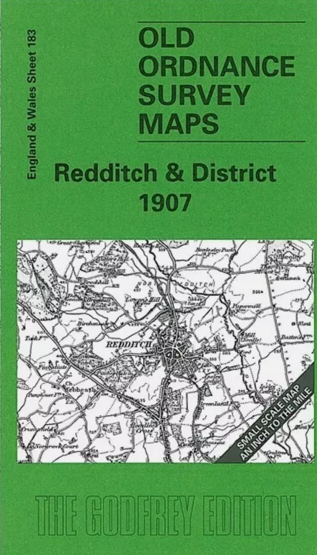
MAP OF Redditch & District 1907 One Inch Sheet 183 by Robert Bearman NEW
Here is information about Sheet 183:\n\nOne Inch Sheet 183 Redditch & District 1907 - published 2001; intro by Robert Bearman. ISBN.978-1-84151-257-0This One Inch to the Mile map is split between Worcestershire and Warwickshire, covering an area south of the Birmingam conurbation. Coverage stretches from Bromsgrove eastward to Haseley and Hatton House, and from Longbridge southward to Great Alne. Robert Bearman describes this as a hilly area \""often referred to as the 'centre of England', lying astride the watershed between the catchment areas of the River Severn to the south and the River Trent to the north\"". On the reverse we include a good extract from Warwickshire Sheet 31.12 and this covers Henley in Arden in 1903, complete with directory.\nIt is not possible to list the many hamlets, farmsteads and other topographical features shown on these maps. However, you may find it useful if we list the towns and principal villages or church parishes that are included on this map. L.
Compare prices (2 shops)
| shop | Price | Action |
|---|---|---|

|
3,45 GBP | Go to shop |
|
|
3,75 GBP | Go to shop |


