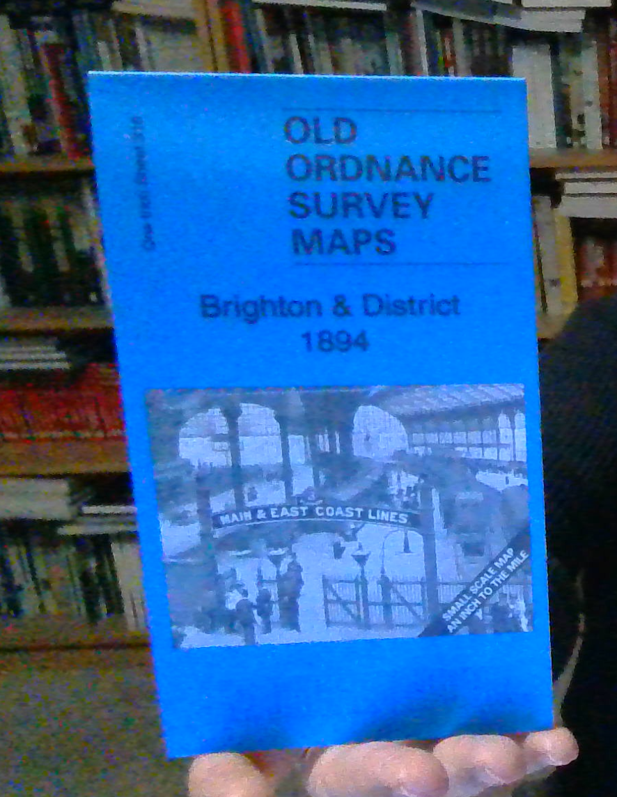
Buckingham & District 1887 One Inch sheet 219 by Barrie Trinder
This map covers the area around and to the south of Buckingham, with coverage stretching from Middleton Stoney eastward to Whaddon, and from Stowe House southward to Quainton. Apart from Buckingham, Bicester, Brackley and Winslow are also included. Verney Junction is near the centre of the map, including the LNWR line to Brackley. On the reverse we include a detailed map of Stowe House in 1938, by which time it was Stowe School.\nIt is not possible to list the many hamlets, farmsteads and other topographical features shown on these maps. However, you may find it useful if we list the towns and principal villages or church parishes that are included on this map:\nBuckinghamshire: Addington, Adstock, Akeley, Barton Hartshorn, Beachampton, Buckingham, Charndon, Chetwode, East Claydon, Foscott, Gawcott, Grandborough, Great Horwood, Grendon Underwood, Hillesden, Hoggeston, Hogshaw, Leckhampstead, Little Horwood, Maids Moreton, Marsh Gibbon, Middle Claydon, Mursley, Nash, North Marston, Ov.
Compare prices (2 shops)
| shop | Price | Action |
|---|---|---|

|
3,45 GBP | Go to shop |
|
|
3,75 GBP | Go to shop |