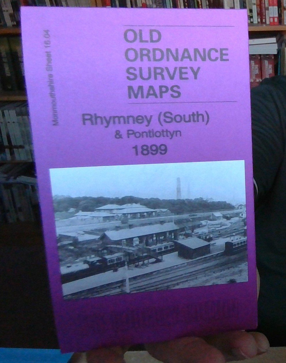
MAP OF Rhymney (South) 1899 Monmouthshire Sheet 16.04 NEW 9781847845849
Here are the details of maps for Rhymney:\n\nMonmouthshire Sheet 10.16 Rhymney (North) & Twyn-carno 1915 - published 2006; intro by Angus Dunphy. ISBN.978-1-84151-944-9This very detailed map covers the northern part of Rhymney. The map covers the area of Rhymney around High Street, from Tre-York Street and Manest Street northward to Twyn-carno and Ras Bryn-oer; features include the Brewery, Queens Crescent, Church Street, St David's church, Royal Arms Hotel, Carno House. Several old quarry and mine workings are shown, including the disused Waun-fawr and Twyn-carno pits. The eastern part of the map is moorland, helping put Rhymney into the context of its landscape. On the reverse we include a directory of Rhymney in 1906.\nThe map links up with sheet 11.13 Tredegar South to the east, 16.04 Rhymney South to the south.
Compare prices (2 shops)
| shop | Price | Action |
|---|---|---|
|
|
3,45 GBP | Go to shop |
|
|
3,70 GBP | Go to shop |


