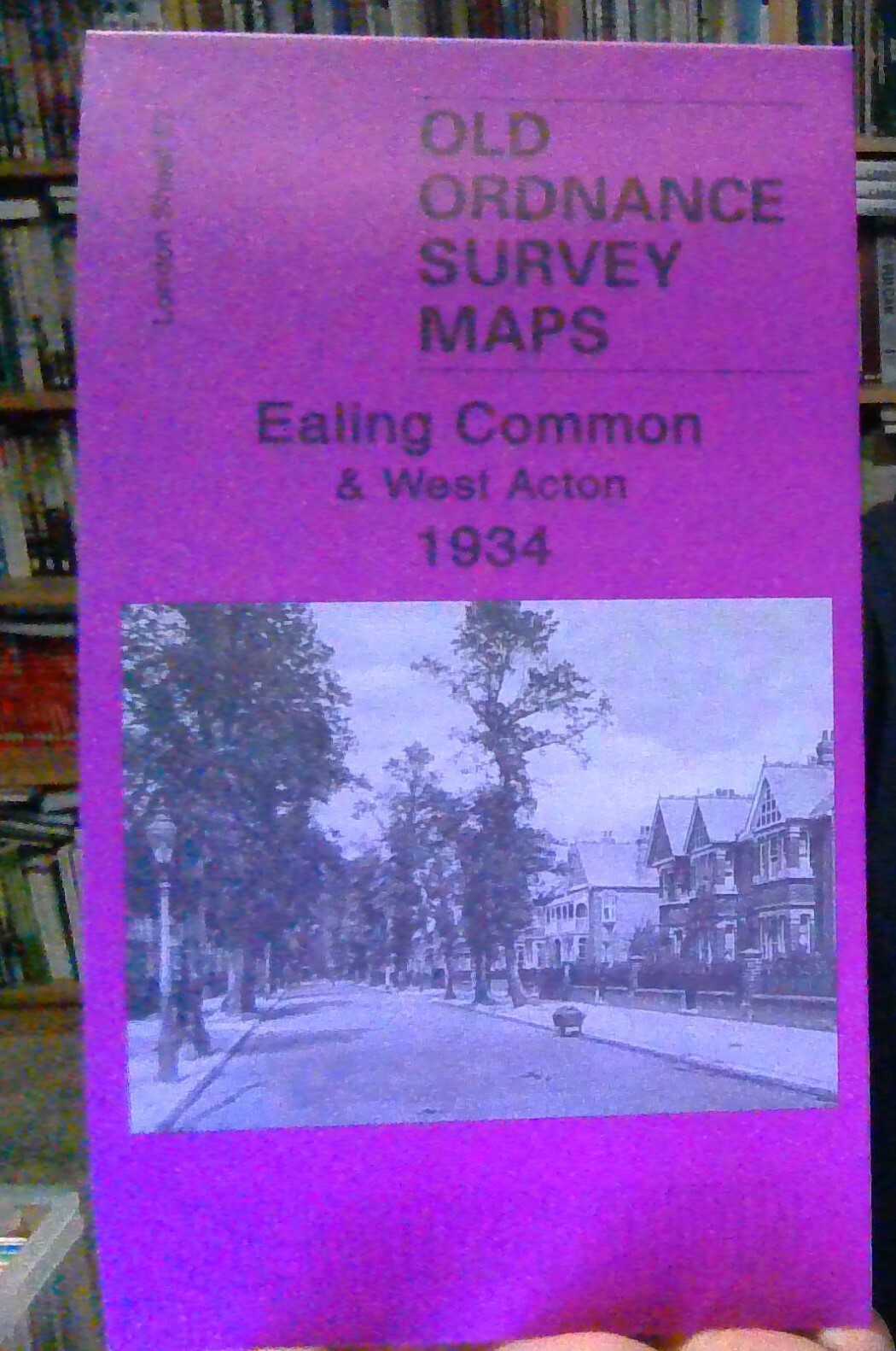
MAP OF Ealing Common and West Acton 1934: London Sheet 57.4 Johnathan Oates NEW
Here are the details of maps for Acton Town:\n\nLondon Sheet 57.1 Acton Town & Ealing Common 1864 - published 1990; intro by Pamela Taylor. ISBN.978-0-85054--346-9 London Sheet 57.2 Ealing Common & West Acton 1894 - published 2005; intro by Jonathan Oates. ISBN.978-1-84151-799-5 London Sheet 57.4 Ealing Common & West Acton 1934 - published 2007; intro by Jonathan Oates. ISBN.978-1-84784-082-0 We have published three versions of this map, showing how the area developed across the years. All maps show the same area, in great detail, including indivdual houses. Coverage stretches from Haven Lane Ealing eastward to Myrtle Road Acton. The eastern part of Ealing is shown, including St Matthew's church, Ealing Common, Ealing Common & West Acton station, Hanger Hill Farm, Hanger Vale; the western part of Acton is also shown, features here including Springfield Park, Steyne Mills, The Elms, The Steyne, The Lodge, Churchfield Road West, Horn Lane. The earlier map.
Compare prices (1 shop)
| shop | Price | Action |
|---|---|---|
|
|
3,45 GBP | Go to shop |


