MAP OF Hanwell 1934: London Sheet 55.4, Oates, Johnathan NEW 9781847842541
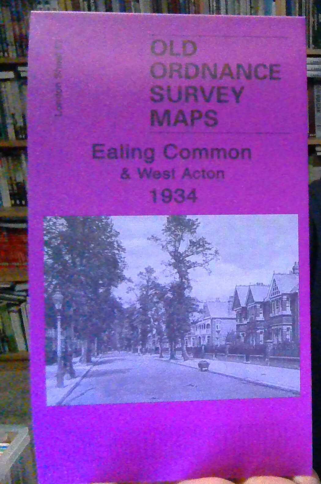
Here are the details of maps for Hanwell:\n\nLondon Sheet 55.2 Hanwell Village 1894 - published 1994; intro by Maureen Gooding. ISBN.978-0-85054-702-3 London Sheet 55.4 Hanwell Village 1934 - published 2009; intro by Jonathan Oates. ISBN.978-1-84784-254-1 We have published two versions of this map of Hanwell, showing how the area developed across the years. Each map covers the same area a mile by a mile and a half in size, still largely rural in 1894, stretching from Mount Pleasant and Dormers Wells Lane eastward to Hanwell Park and Cuckoo Lane; from Central London District School southward to Hanwell High Street. By 1934 the area is obviously more built up.\nThe map covers Hanwell Village and the area north and west, with the eastern part of Southall around Burns Avenue and Dormers Wells. Features include Hanwell station, Hanwell Bridge, Broadway, Elthorne Heights, Brent Lodge Park, St Mary's church, Church Road, Mill Farm. The 1934 version includes the A-J entries from a .
Compare prices (1 shop)
| shop | Price | Action |
|---|---|---|
|
|
3,45 GBP | Go to shop |