
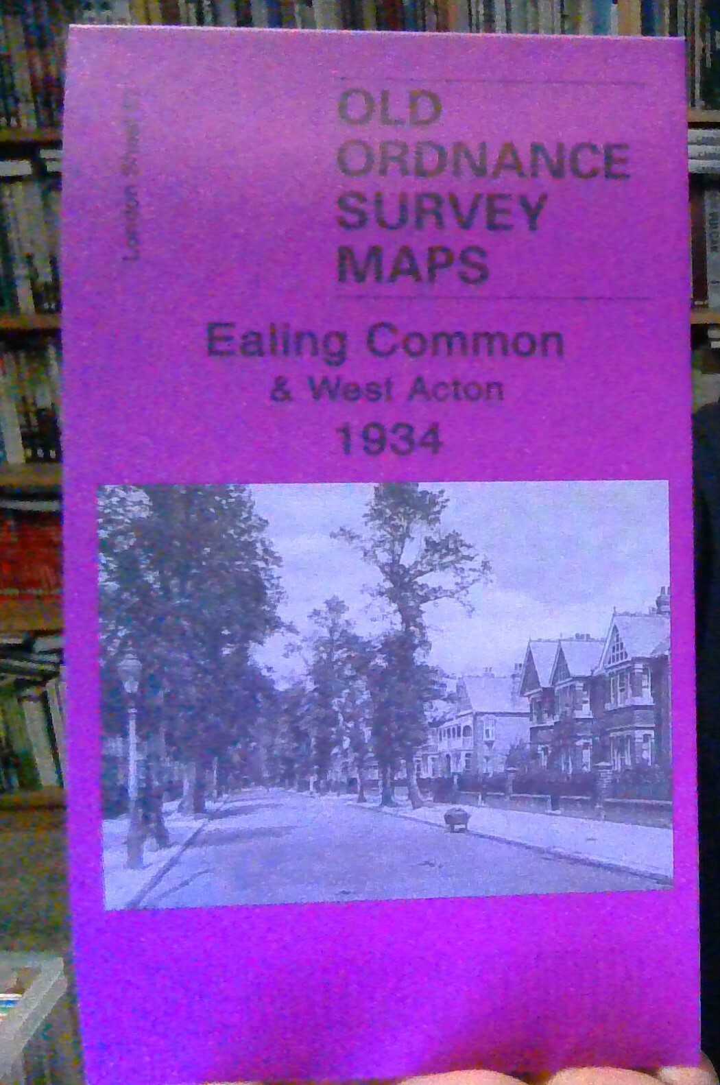
MAP OF Ealing 1934: London Sheet 56.4 by Peter Hounsell NEW 9781847840950
Here are the details of maps for Ealing:\n\nLondon Sheet 56.2 Ealing 1894 - published 1991; intro by Peter Hounsell. ISBN.978-0-85054-404-6 London Sheet 56.3 Ealing 1913 - published 2017; intro by Alan Godfrey. ISBN.978-1-78721-057-8 London Sheet 56.4 Ealing 1934 - published 2008; intro by Peter Hounsell. ISBN.978-1-84784-095-0 We have published three versions of this map, showing how the area changed across the years. Each covers the same area, which is an area of a mile by a mile and a half, stretching from Eccleston Road eastward to Ealing Broadway and Windsor Road; from Cleveland Road and Castle Bar southward to Grange Road and Churchfield Road. The map covers central and west Ealing. Features include Ealing Broadway station, Castle Hill & Ealing Dean station, Haven Green, Drayton Green, cemetery, Central London District School. Churches include St Stephen's, St John's Mattock Lane, Christ Church. Streets include The Avenue, Uxbridge Road, High Street, Eaton Ri.
Compare prices (1 shop)
| shop | Price | Action |
|---|---|---|
|
|
3,45 GBP | Go to shop |
Similar products
-
-

-

MAP OF Ealing 1894: London Sheet 056.2 NEW 9780850544046
From 4,50 EUR -

-

-
