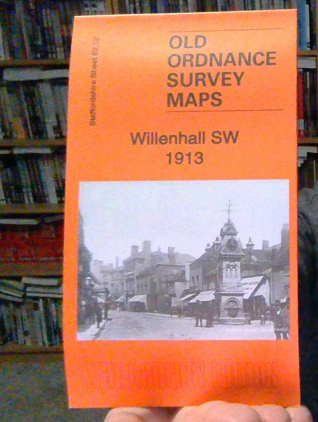
MAP OF The Hawthorns 1913: Staffordshire Sheet 68.15b by Jee, Mike NEW
Here are the details of maps for Handsworth (West):\n\nStaffordshire 68.15a The Hawthorns 1886 - published 1989; intro by Claire Harrington. ISBN.978-0-85054-298-1 Staffordshire 68.15b The Hawthorns 1913 - published 2011; intro by Michael Jee. ISBN.978-1-84784-510-8 We have published two versions of this detailed map, which covers the eastern part of West Bromwich and western part of Handsworth, with the area known as The Hawthorns in the centre. Coverage stretches from Roebuck Lane eastward to Booth Street.\nFeatures on the 1886 map include GWR railway with Handsworth Junction, Handsworth & Smethwick station and portion of Stourbridge extension line; tramway, Railway Carriage Works, Sandwell Place, Phoenix Bolt Works, St James church Handsworth, Sandwell Park Colliery, Galton Junction, St Stephen's Mission Room, Belle Vue Brewery etc. Several villas stand in grounds away from the industrial area.\nThe 1914 version shows a more built-up scene, with many more terraced st.
Compare prices (2 shops)
| shop | Price | Action |
|---|---|---|
|
|
3,45 GBP | Go to shop |
|
|
3,75 GBP | Go to shop |
Similar products
-

-

Hamstead 1913 Staffordshire Sheet 68.08 by Mike Jee
From 3,75 EUR -

-

-

-