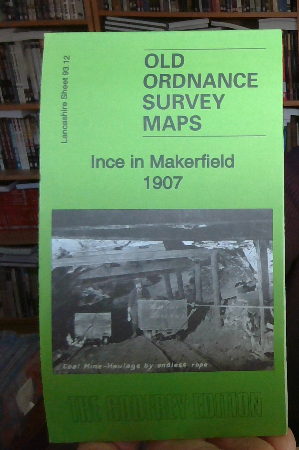
MAP OF Ince in Makerfield 1907 Lancashire Sheet 93.12 NEW 9781847845856
Here are the details of maps for Ince in Makerfield:\n\nLancs Sheet 93.12a Ince in Makerfield 1907 - published 2012; intro by Derrick Pratt. ISBN.978-1-84784-585-6 Lancs Sheet 93.12b Ince in Makerfield 1927 - published 2001; intro by Alan Godfrey. ISBN.978-1-84151-330-0 We have published two versions of this detailed map, showing how the area changed across the years. Each covers the same busy area, stretching from Ince station southward to Moss Pits, and from Pearson's Flash eastward to Fir Tree Colliery.\nFeatures include Christ Church, St Mary's church, stretch of Lancashire & Yorkshire Railway with Ince station, GCR railway with Lower Ince station, LNWR Springs Branch, LYR Pemberton Loop, LNWR main line with engine shed, Moss Pits, short stretches of canal, tramways, Wigan Wagon Works, Ince and Wigan cemeteries, Hall of Ince, Westwood Hall, old shafts, several mineral railways, Old Hall, Ince UDC Council Offices etc. Various directory extracts are included on the re.
Compare prices (2 shops)
| shop | Price | Action |
|---|---|---|
|
|
3,45 GBP | Go to shop |
|
|
3,45 GBP | Go to shop |


