MAP OF Whitton 1894: London Sheet 109.3 NEW 9780850548396
Here are the details of maps for Whitton:\n\nLondon 109a Whitton 1894 - published 1996; intro by John Griffiths. ISBN.978-0-85054-839-6 London 109b Whitton 1935 - published 2019; intro by Pamela Taylor. ISBN.978-1-78721-293-0 We have published two versions of this map, showing how the area changed across the years.\nThe detailed map is centred on the village of Whitton, including St Philip & St James church, Kneller Hall (Royal Military School of Music), Manor House, Whitton Dean Farm. To the west is Whitton Park, while in the NW of the map is part of Hounslow, including St Stephen's church, Hounslow & Whitton station, Lancers Road and Maswell Park. The map extends eastward to the River Crane and Oak Lane, with Marsh Farm in the SE corner, including several tramways for produce and fertiliser.\nEach map includes extracts from an early directory together with a specially written introduction.\nThe map links up with Middlesex Sheet 20.07 Hounslow to the north, 20.10 H.
Compare prices (1 shop)
| shop | Price | Action |
|---|---|---|
|
|
4,50 GBP | Go to shop |
Similar products
-

-

-

-
-
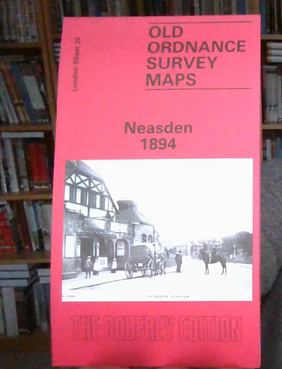
MAP OF Neasden 1894 London Sheet 025.2 NEW 9780907554776
From 3,45 EUR -