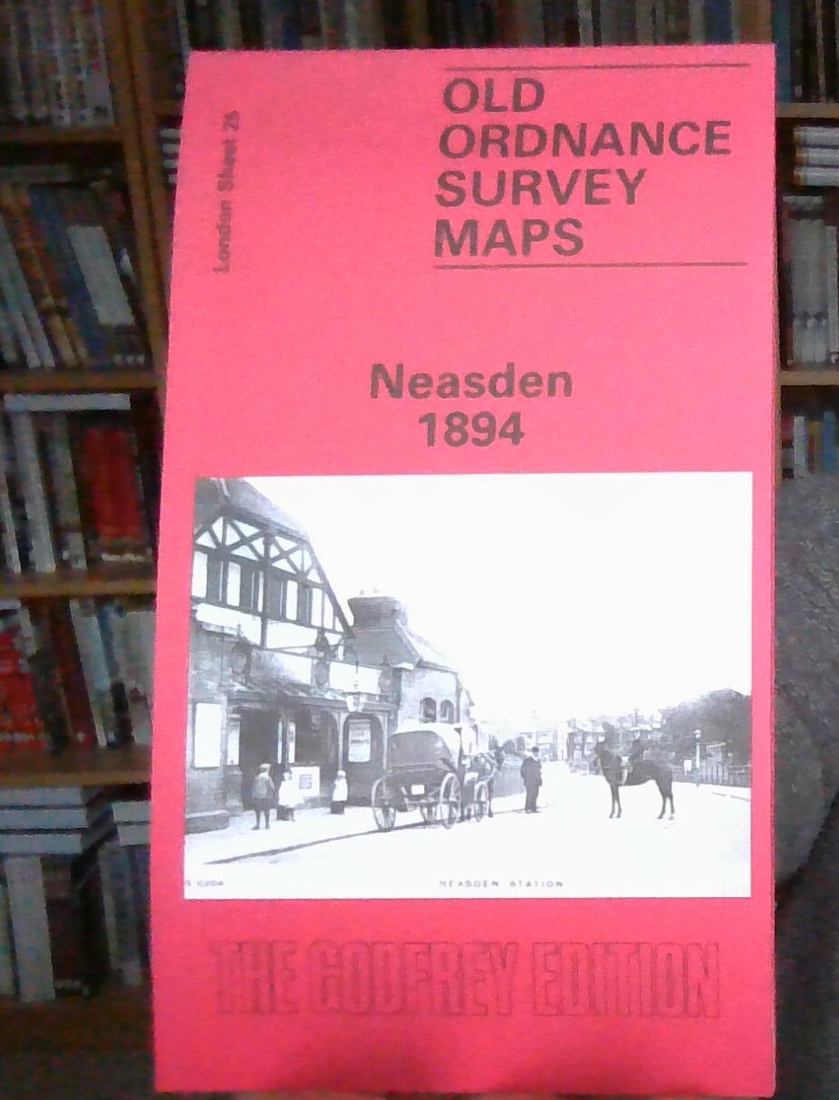
MAP OF Neasden 1894 London Sheet 025.2 NEW 9780907554776
Here are the details of maps for Neasden:\n\nLondon Sheet 25.2 Neasden 1894 - published 1984; intro by Judith Knight. ISBN.978-0-907554-77-6 London Sheet 25.3 Neasden 1912 - published 2022; intro by Alan Godfrey. ISBN.978-1-78721-562-7 London Sheet 25.4 Neasden 1936 - published 2008; intro by Alan Godfrey. ISBN.978-1-84784-148-3 We have published three versions of this map, showing how the area changed across the years.\nThe 1894 map is centred on what was then the rural village of Neasden and covers an area of a mile by a mile and a half, stretching from Kingsbury Bridge to Dudding Hill Junction. Features include the Metropolitan railway works, Neasden station, the MR Midland & South Western Junction line with Dudding Hill station, The Grange, Dollis Hill Lane, Dollis Hill Villa, Neasden Lane, Blackbird Hilll Farm. On the reverse is an extract from the the 1st Edition map showing Neasden village in 1878.\nThe 1912 and 1936 map shows an increasingly busy area.\nThe.
Compare prices (1 shop)
| shop | Price | Action |
|---|---|---|
|
|
3,45 GBP | Go to shop |