Glacier Bay National Park by National Geographic Maps - 9781566953863
National Geographic's Trails Illustrated map of Glacier Bay National Park and Preserve in Alaska's panhandle is perfect for hiking, camping, boating, paddling, and wildlife viewing in this scenic, rugged frontier. Created in partnership with local land management agencies, this expertly researched map delivers unmatched detail and helpful information for experienced outdoor enthusiasts and casual visitors alike. Some of the key areas of interest covered include Glacier Bay Wilderness, portions of Tongass National Forest, Chicagof Island, Endicott River Wilderness, Chilkat State Park, Chilkat Islands, Sullivan Island State Marine Park, Pleasant Island, Lemesurier Island, Inian Islands, and Tatshenshini Alsek Park. Waterways include the Gulf of Alaska; Glacier, Tituya, Berners, Tidal, Scidmore, and Taylor bays; Cross Sound; Icy Strait; Lynn Canal; North Passage; and Geikie, Muir, Tarr, Chilkoot, Chilkat, Wachusett, Queen, and Rendu inlets. The print version of this map contains detailep
Compare prices (3 shops)
| shop | Price | Action |
|---|---|---|
|
|
12,99 GBP | Go to shop |
|
|
15,66 GBP | Go to shop |
|
|
16,15 GBP | Go to shop |
Similar products
-
-
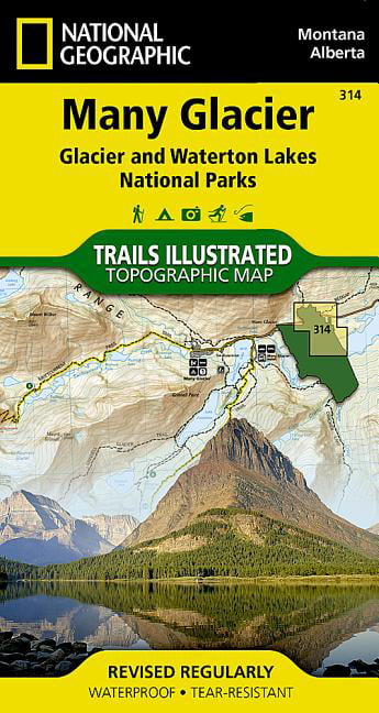
MANY GLACIER Trails Illustrated National Geographic
From 11,99 EUR -
-

-

-