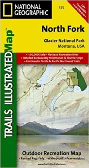
North Fork, Glacier National Park: Trails Illustrated National Parks
National Geographic's Trails Illustrated map of North Fork in Glacier National Park will benefit even the most experienced outdoors enthusiast, as you explore this pristine landscape that has very few amenities. Two additional maps for Many Glacier and the Two Medicine regions of the park along with a comprehensive Glacier National Park Trails Illustrated map are also available.Created in partnership with the National Park Service, U.S. Forest Service and others, this expertly researched map features key areas of interest such as Bowman Lake, Lake McDonald Valley, Goat Haunt and Avalanche Creek. The North Fork map is an invaluable resource for exploring the mapped trails of the area, including the Pacific Northwest Trail, the Continental Divide Trail and recommended biking trails. The map base includes contour lines and elevations for summits, passes and major lakes. Charts of unbridged stream crossings as well as seasonal plank and suspension bridges will also aid in your navigationp
Compare prices (2 shops)
| shop | Price | Action |
|---|---|---|
|
|
11,99 GBP | Go to shop |
|
|
13,86 GBP | Go to shop |
Similar products
-
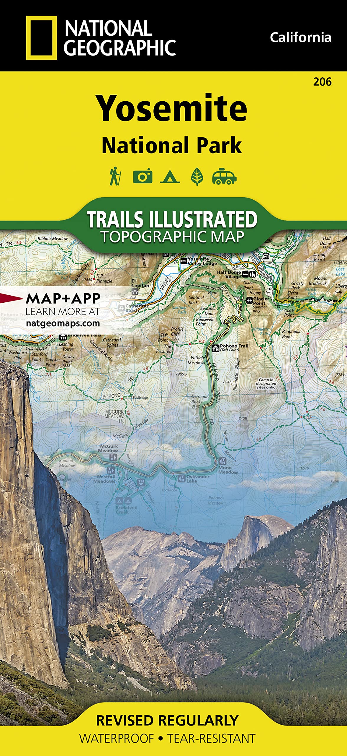
Yosemite: national Geographic NP 206
From 14,95 EUR -
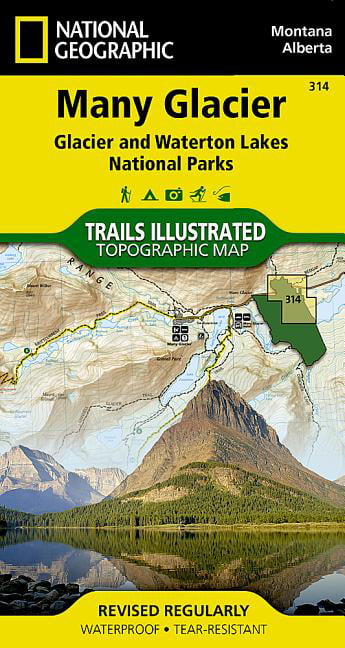
MANY GLACIER Trails Illustrated National Geographic
From 11,99 EUR -

Glacier Bay Map Trails illustrated national geographic
From 12,99 EUR -
-
![Death Valley : National Geographic NP 221 [Trails Illustrated]](https://m.media-amazon.com/images/I/71a2ws5FzaL.jpg)
-