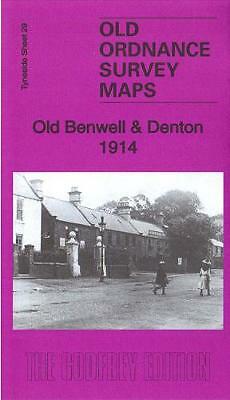
MAP OF Old Benwell & Denton 1914: Tyneside Sheet 29b by Alan Godfrey NEW
Here are the details of maps for Old Benwell:\n\nTyneside 29a Old Benwell & Denton 1914 - published 2019; intro by Alan Godfrey. ISBN.978-1-78721-234-3 Tyneside 29b Old Benwell & Denton 1936 - published 2015; intro by Mike Greatbatch. ISBN.978-1-84784-933-5 We have published two versions of this map, showing how the area changed across the years, with massive development between the 1914 and 1936 editions.\nThe maps cover the Old Benwell and Denton area west of Newcastle with coverage from Fox & Hounds Lane westwards to Rokeby Street.\nFeatures include Denton Burn area, Denton Hall, East Denton area, Benwell Hill, course of Hadrian's Wall, West Road, St Cuthbert's Grammar School, Benwell Cottage, St Margaret's church (at foot of map), Holy Saviour church (at west of map), stretch of LNER Scotswood-Wylam railway, St George's RC church, tramways, Wood House Farm etc.\nThe map links up with Tyneside Sheet 25 Newburn to the west, 10 Arthurs Hill to the east, 26 Scot.
Compare prices (1 shop)
| shop | Price | Action |
|---|---|---|
|
|
3,45 GBP | Go to shop |
Similar products
-

-

-
-

Prudhoe 1914 Northumberland Sheet 93.14 by Alan Godfrey
From 3,75 EUR -

Seghill 1914 Northumberland Sheet 86.02 by Alan Godfrey
From 3,75 EUR -

Holywell 1914 Northumberland Sheet 86.03 by Alan Godfrey
From 3,75 EUR