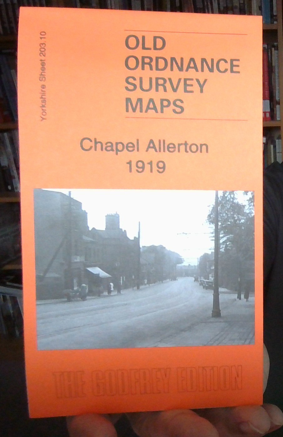
MAP OF CHAPEL ALLERTON 1919 YORKSHIRE SHEET 203.10 NEW 9781787214880
Here are the details of maps for Chapel Allerton:\n\nYorkshire Sheet 203.10a Chapel Allerton & Gledhow 1906 - published 1996; intro by G C Dickinson. ISBN.978-0-85054-792-4 Yorkshire Sheet 203.10b Chapel Allerton 1919 - published 2021; intro by Alan Godfrey. ISBN.978-1-78721-488-0 We have published two versions of this map, showing how the area changed across the years.\nThe maps cover Chapel Allerton, on the north side of Leeds. Most of the village is shown, including Old Church, Allerton Hall, Allerton House, Allerton Hill, St Matthew's church, Allerton Park, Hawkhills, Woodland Lane. The Harrogate Road (with tramway) runs through the village, and the map extends north along it to Moor Allerton Bottoms, Whinbrook and Broomhill Farm. East of the village is Gledhow Park and coverage extends east to cover Gledhow, incl Gledhow Hall, Oakley House and the group of streets between Lidgett Lane and Jackson Avenue. To the north are Lidgett Farm, Allerton Grange and Moor Aller.
Compare prices (1 shop)
| shop | Price | Action |
|---|---|---|
|
|
3,70 GBP | Go to shop |