
MAP OF LEEDS (SE) 1919 YORKSHIRE SHEET 218.06 NEW 9781787215351
Here are the details of maps for SE Leeds.\n\nYorks Sheet 218.06a Leeds (SE) 1890 - published 2011; intro by Alan Godfrey. ISBN.978-1-84784-522-1 Yorks Sheet 218.06b Leeds (SE) 1906 - published 1996; intro by G C Dickinson. ISBN.978-0-85054-250-9 Yorks Sheet 218.06c Leeds (SE) 1919 - published 2022; intro by Alan Godfrey. ISBN.978-1-78721-535-1 We have published three versions for this busy area, showing how it changed across the years.\nCoverage stretches from Wellington Station eastward to Pontefract Lane and southward to Goodman Street. Part of the city centre is included, with City Square, Boar Lane, theCorn Exchange and St Peter's Square.\nFeatures on the 1890 version include Wellington station, New Station, River Aire, St Peter's church, Richmond Hill area, Midland Goods Station, Hunslet Engine Works, Airedale Foundry, Potters Field area, Goodman Street Works, Clarence Iron & Steel Works, Hunslet Linen Works, Aire & Calder Navigation, New Dock, Blac.
Compare prices (1 shop)
| shop | Price | Action |
|---|---|---|
|
|
3,70 GBP | Go to shop |
Similar products
-

-

-
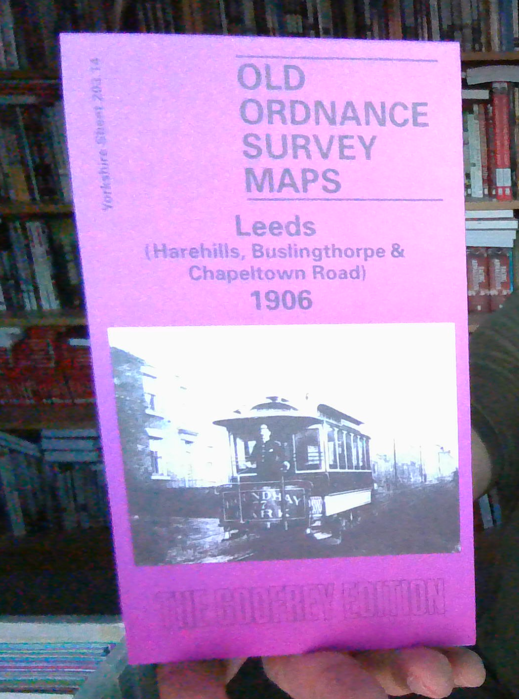
MAP OF LEEDS HAREHILLS 1906 YORKSHIRE SHEET 203.14
From 3,70 EUR -
-

-
